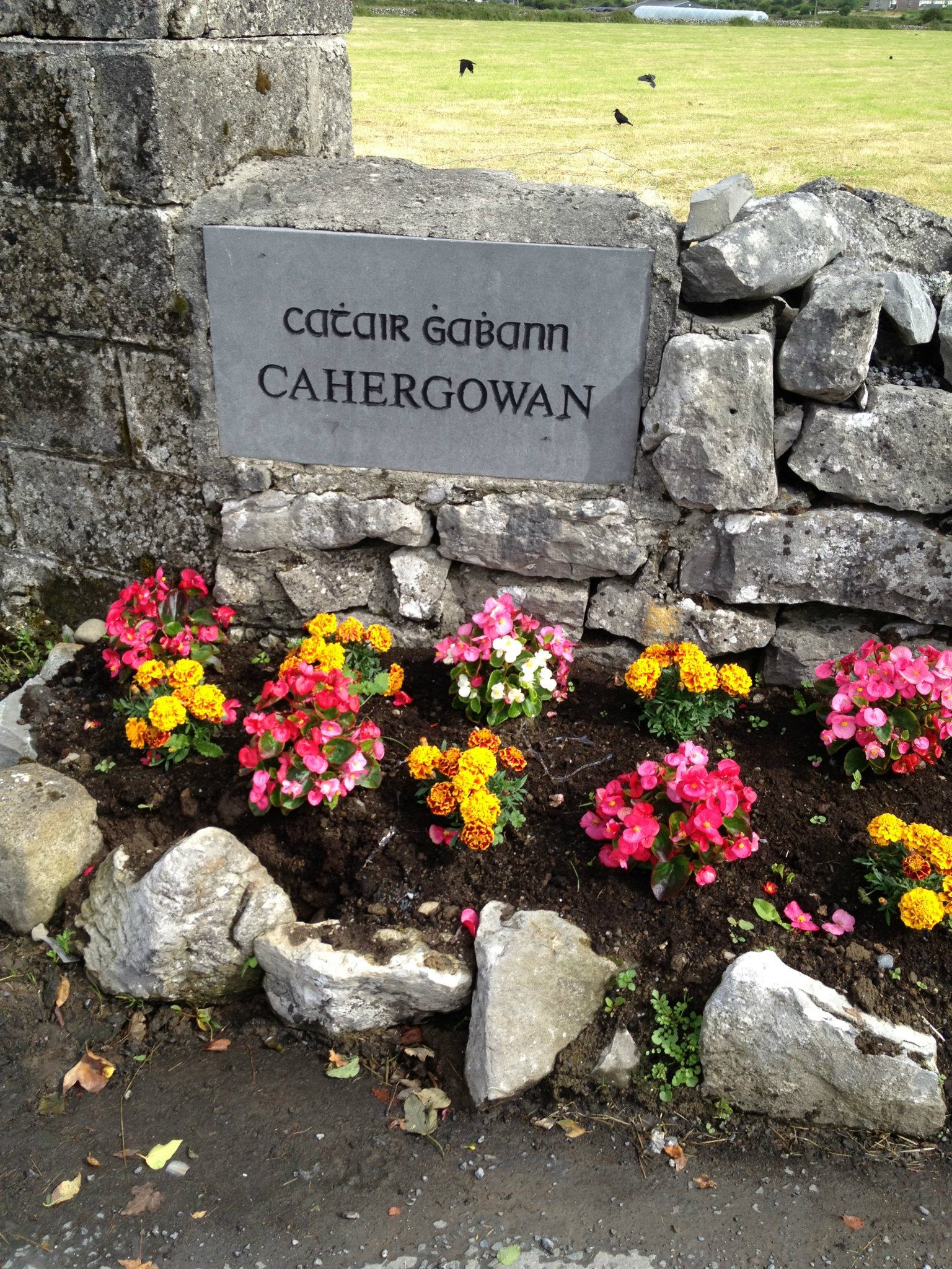
Cahergowan or Summerfield


![]()
![]()
![]()
Description
Cahergowan is unusual in that it had two official names, Summerfield and Cahergowan. Both are used but Cahergowan would be used more frequently. This townland is large and has always been heavily populated. Clogher or Clochár is an old name that indicates a monastic settlement. The Taylor and Skinner road map of 1777 shows Summerville Blake Esq. as the occupant of the big house. At the back of the ball alley there is an old ruin of a church and this was used as a burial ground until recently.
Name(s): Cahergowan or Summerfield(Summerville) townlands.ie/cahergowan
Gaeilge: Cathair Ghabhain nó Páirc an tSamhraidh logainm.ie/cahergowan
Meaning(s): Fort of the blacksmith or calves
Description: The land is mainly arable with some outcrop of rock and hazel and some low-lying land that is liable to flooding. There is also some bog but no turf is cut there now. Area 841 acres 0 roods and 25 perches.
Situated: The river Clare separates it from the townland of Claregalway and it stretches along the N17 as far as Pollaghrevagh and on the western side it adjoins Montiagh South.
Sub-domination(s): Clogher, Casuala, Carrow Keel, Páircín na bPoll, Poll na gCapall, Tobar Padraic (Spring Well), Cnocán Droighnean, Cúinne na Sceach, Cnocán Lurghan and Garaide an Uisce
Boundaries-townland(s): Cregboy, Pollaghrevagh(Englishfield), Montiagh South, Claregalway, Lakeview
Civil & Church of Ireland Parish: Claregalway – Claregalway Civil Parish (John Grenham)
Barony: Dunkellin – Connacht Baronies
District Electoral Division (DED): Claregalway – Map of Ireland
Poor Law Union (PLU): Galway (Poor Law Valuation) – Poor Law Unions (1851) Claregalway
County: Galway – galway.ie
Diocese: The Diocese of Galway, Kilmacduagh and Kilfenora – Galway Rural
Province: Connacht(Connaught)
The Down Survey Map
(1650’s) No townland description information available for Cahergowan or Summerfield in Claregalway in the Barony of Dunkellin. (Barony of Galway records destroyed in 1711)
Down Survey Landowners/cahergowan
O’Donovan’s field names book 1838
Families
: (Pre 1911)
Boyle, Burke(John), Burke(Michael), Clanmorris, Cody, Cogwell, Conor, Corkett (Corcuit), Cullinane, (O)Donoghue, Duffy, Duggan, Egan, Fahy, Flaherty, Flesk, Ford, Fox, Glynn, Gobbobs, Hession Hessian, Holland, Hughes, Joyce, Kelly, Lenehan, Lenihan, Lynskey, Moloney, Moran, Murphy, Prendergast, Ross, Tully, Walsh, Williams, Wren and Ward
Landlord(s)
Bingham, Blake, Lord Clanmorris (Bingham Family)
Records
(Claregalway Parish)
Tithe Applotments (c1827)
The names of occupiers and the size of their agricultural holdings, over one acre only, in each townland. To determine the amount that they should pay in tithes to the Church of Ireland. (titheapplotmentbooks.nationalarchives.ie)
Search Claregalway
Roman Catholic Parish Registers
- Baptism (Claregalway 1849-1881): The Catholic Church’s collection of the parish baptismal registry. (registers.nli.ie)
- Marriage (Claregalway 1849-1883): The Catholic Church’s collection of the parish matrimonial registry. (registers.nli.ie)
- Burial (Claregalway 1849-1876): The Catholic Church’s collection of the parish burial registry. (registers.nli.ie)
Griffith Valuation’s
Primary Valuation of Ireland
A survey involving a detailed valuation of every taxable holding of agricultural or built property on the island of Ireland. Completed between 1864-1865 . Date of Publication for Claregalway was 1855. (askaboutireland.ie)
Search Cahergowan and Summerfield
General Registry of Office (GRO) Records
- Civil Registery Birth: (1864-1915) The official State records of births in Ireland. (irishgenealogy.ie)
- Civil Registery Marriage: (1864-1940) The official State records of marriage in Ireland (irishgenealogy.ie)
- Civil Registery Death: (1864-1960) The official State records of death in Ireland (irishgenealogy.ie)
Census of Ireland (1821- 1911)
- 1821 vs 1831 (General Parish Population Only)
- 1831 (Summary of Returns for Claregalway Parish Only)
- 1841 (Summary of Returns for Parish Only)
- 1851 (Summary of Returns for Townlands Only)
- 1861 (Summary of Returns for Townlands Only)
- 1871 (Summary of Returns for Townlands Only)
- 1881 (Summary of Returns for Townlands Only)
- 1891 (Summary of Returns for Townlands Only)
- 1901 (Cahergowan and Summerfield)
- 1911 (Cahergowan and Summerfield)
Research
Taylor & Skinner: Maps of the Roads of Ireland Surveyed 1777
by George Taylor, Andrew Skinner
archive.org/TaylorSkinnerMapsOfTheRoadsOfIrelandSurveyed1777/galwaytotuam
Sites and Monuments Record
Medieval village and burial ground was located in the townland of Cahergowan or Summerfield and the barony of Dunkellin in 2010-11. Dig was completed by Rubicon Heritage Services
Index and Transcripts of memorials of deeds, conveyances and wills, 1708-1929
by Registry of Deeds, Dublin
familysearch.org/registryofdeeds/search/
Archaeological Survey of Ireland (ASI)
The Archaeological Survey of Ireland (ASI) is a unit of the National Monuments Service.
- Hession’s House/Public House, 1820-1840 – Reg. No. 30407014 buildingsofireland.ie/niah/cahergowan
- Dunleavy’s House/Cottage, 1780 – 1820 – Reg. No. 30407013 buildingsofireland.ie/niah/cahergowan
- Medieval Church (circa 13th century) – GA070-012001
- Graveyard (Medieval Church) – GA070-012002
- Pond (Now filled in) – GA070-011
archaeology.ie/historicenvironment/
More to Follow!
No Comments
Add a comment about this page